The High Resolution Signal in Low Fidelity Records
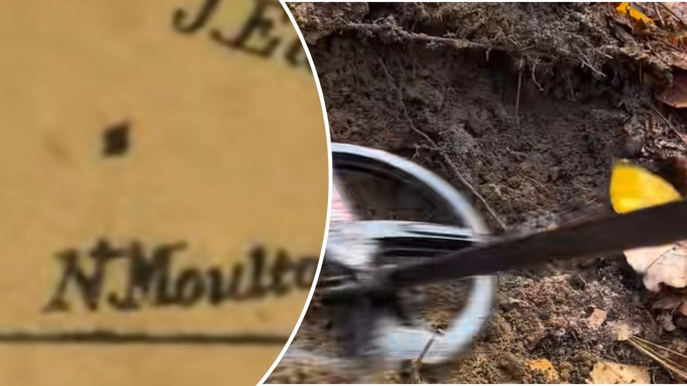
The discovery of significant historical sites through "mystery dots" on archaic maps is not a matter of luck; it is a function of signal processing. When a minor cartographic ink-stroke corresponds to a massive subterranean structure, we are witnessing the intersection of human observational persistence and modern non-invasive sensing. The discrepancy between the size of the mark and the scale of the find reveals a bottleneck in historical data compression. Mapmakers of previous centuries lacked the surveying tools for precision but possessed the spatial awareness to record "anomalies" that did not fit the surrounding topography.
This process follows a specific sequence of validation that transforms a visual outlier into a verified archaeological asset. To understand how a single dot leads to a "shock discovery," one must analyze the three distinct layers of geographic intelligence: the archival prompt, the multispectral verification, and the ground-truth realization.
The Taxonomy of the Cartographic Outlier
Not every smudge on a 17th-century vellum map represents a lost civilization. Distinguishing between a "data artifact" (a physical flaw in the map itself) and a "geographic indicator" requires a rigorous filtering process. Analysts categorize these markers based on their relationship to known environmental variables.
- Topographical Inconsistencies: A mark placed where natural logic suggests an empty void, such as a structured point in a high-altitude pass or a marshland.
- Nomenclature Lag: Labels that persist on maps long after the physical structures they describe have vanished from communal memory.
- Logistical Nodes: Dots located at the precise geometric intervals required for pre-industrial supply chains, indicating hidden outposts or waystations.
The failure of previous generations to identify these sites stems from a reliance on visible light. Human vision is a narrow-band sensor. When a map indicates a "site," and a physical visit reveals only a flat field, the traditional conclusion is that the map is wrong. The modern analytical pivot assumes the map is right but the surface is a mask.
The Calculus of Subsurface Detection
The transition from a map coordinate to a physical discovery relies on the deployment of Remote Sensing (RS) technologies. This is where the "shock" of the discovery is quantified. The discovery is rarely just "found"; it is mathematically reconstructed through specific data layers.
The Vegetation Proxy (Crop Marks)
Archaeologists use the "stress-response" of local flora to map what lies beneath. Buried stone walls limit root depth and moisture retention, causing grass above them to brown faster during droughts. Conversely, ancient ditches or pits collect organic matter and moisture, leading to lusher, greener growth. This creates a biological blueprint of the site that is invisible from the ground but starkly evident in high-altitude infrared photography.
LiDAR and the Stripping of the Canopy
Light Detection and Ranging (LiDAR) has fundamentally altered the cost-benefit analysis of exploration. By firing millions of laser pulses at the ground and measuring the return time, researchers can digitally "remove" dense forest canopies. The resulting Digital Elevation Model (DEM) reveals the micro-topography of the soil. A three-inch elevation change, stretched across a kilometer in a straight line, is a mathematical impossibility in nature. It represents a road, a foundation, or a defensive perimeter.
Magnetometry and Thermal Inertia
The earth possesses a baseline magnetic field. Human activity—specifically the firing of clay in kilns or the digging and refilling of earth—alters the local magnetic susceptibility. Geophysical surveys detect these nanotesla-level variances. Furthermore, different materials hold heat differently. As the sun sets, a buried stone foundation stays warm longer than the surrounding soil. Thermal imaging at dusk can "see" the heat signature of a building that has been buried for a millennium.
The Economic Impact of Predictive Archaeology
The discovery of a major site via a map anomaly creates an immediate shift in the local "Information Economy." There is a predictable lifecycle to the value of the find, moving from academic curiosity to a tangible asset or liability.
- The Validation Spike: The moment the site is confirmed, the intellectual property value of the surrounding geographic data increases. This leads to a rush of secondary "map-mining" as researchers apply the same logic to adjacent regions.
- The Regulatory Friction: In many jurisdictions, a major discovery triggers immediate land-use restrictions. This creates a conflict between historical preservation and modern infrastructure development. The "shock" is often felt most acutely by stakeholders who own the development rights to the land.
- The Tourism Multiplier: For significant finds, the long-term economic output is driven by the transformation of the site into a destination. This requires a capital-intensive shift from excavation to conservation and interpretation.
The Structural Failure of Traditional Surveying
Why do these dots remain "mysteries" for so long? The primary bottleneck is the "Search-Cost Paradox." The cost of physically surveying every square meter of a territory is prohibitive. Therefore, surveys are traditionally conducted where sites are expected to be—near water sources or known ancient cities.
This creates a self-reinforcing bias. We find sites where we look, and we look where we have found sites before. The "mystery dot" on an old map represents an outlier that exists outside of this biased search pattern. The discovery is "shocking" not because the site was hidden, but because it was located in a "dead zone" where the prevailing archaeological models predicted nothing would exist.
The Decay of Physical Records
A secondary risk is the degradation of the primary source. Old maps are physically unstable. Many of the dots that could lead to the next decade's major discoveries are currently sitting in uncatalogued, climate-compromised archives. The digital preservation of these maps is not just an act of history; it is an act of prospecting.
Technical Constraints and Model Accuracy
While the "mystery dot" methodology is powerful, it is subject to significant error rates. Analysts must account for several failure modes in the cartographic-to-digital pipeline.
- Parallax and Projection Errors: Ancient maps rarely used Mercator or other standardized projections. A dot that appears to be at a specific coordinate may actually be miles away due to the mapmaker's subjective "importance scaling," where significant landmarks were drawn larger than their physical footprint.
- The Palimpsest Effect: Maps were often reused or updated haphazardly. A mark might represent a 14th-century site overlaid on a 12th-century geography, creating a chronological mismatch that confuses ground-level excavation.
- Geomorphic Change: Rivers shift, coastlines recede, and landslides reshape the earth. A dot placed next to a river in 1600 may now be in the middle of a forest because the river moved a mile to the east.
Strategic Implementation of Geographic Intelligence
To capitalize on the potential of historical cartography, organizations must move beyond the "eureka" narrative and adopt a systematic approach to anomaly detection.
- Automated Feature Extraction: Deploying machine learning algorithms to scan thousands of digitized historical maps. These models are trained to ignore standardized symbols and highlight unique, hand-drawn anomalies that correlate with topographical features in modern satellite data.
- Cross-Disciplinary Data Fusion: Integrating historical map data with modern geological surveys, soil pH maps, and hydrological models. A "mystery dot" that sits on a soil type optimized for ancient agriculture is a high-probability target.
- The "Blind Survey" Protocol: Conducting LiDAR scans of regions where maps show anomalies, regardless of whether the surface-level terrain looks promising. This eliminates the "Search-Cost Paradox" by using technology to bypass human bias.
The realization that an ink-blot from four hundred years ago can dictate the location of a multi-million dollar archaeological project changes the nature of exploration. It turns the archive into a sensor array. The next phase of discovery will not be driven by shovels, but by the refinement of the algorithms that tell us where to put them. Focus on the integration of 17th-century observational data with 21st-century multispectral analysis; this is the only way to systematically convert "mystery dots" into actionable geographic assets.