The international community operates under the assumption that a diplomatic agreement signals the end of military expansion. Satellite telemetry and ground-truth mapping tell a different story. In the months following the October 2025 truce, the Israeli military has not shrunk its footprint in the Gaza Strip. It has expanded it. Instead of completing a phased withdrawal, engineering units have poured concrete, erected berms, and established 40 distinct military outposts deep inside the enclave. Eight of these bases were built completely from scratch after the ceasefire took effect.
This is not a temporary policing action. It is a permanent restructuring of territory.
While regional diplomats talk about reconstruction funds and international stabilization forces, heavy machinery on the ground is working in the opposite direction. The physical landscape is being altered to guarantee that a total military exit is practically impossible.
The Anatomy of the New Outposts
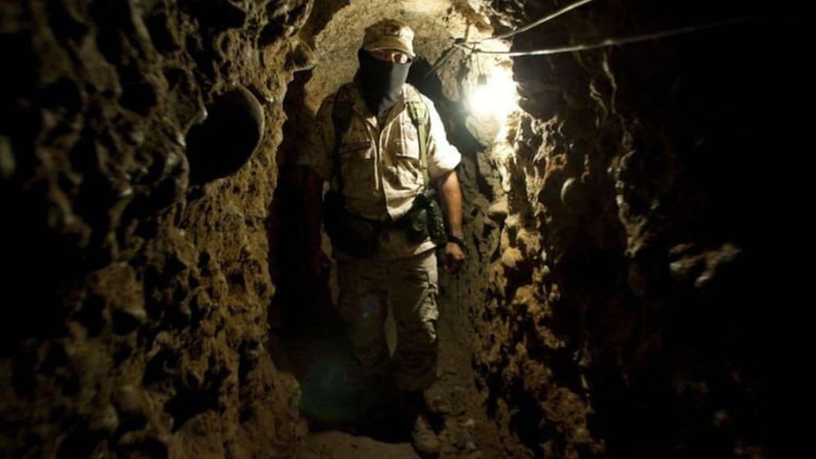
Military architecture reveals long-term intent. A temporary observation post consists of sandbags, armored personnel carriers, and mobile razor wire. A permanent base requires deep excavation, aggregate concrete foundations, paved access roads, and structural reinforcement.
Satellite data collected through May 2026 shows that the Israeli military is focusing its construction efforts on several highly strategic zones.
- The Netzarim Corridor: This east-west asphalt strip completely severs Gaza City and the northern governorates from the south. The Open Source Unit identified three highly developed outposts flanking this corridor, designed to monitor and halt civilian transit.
- The Eastern Cemetery Transformation: In Khan Younis, bulldozers cleared the ruins of the Eastern Cemetery starting in late 2025. By mid-May 2026, high-resolution imagery confirmed the site had been turned into a fully operational military hub, complete with modular troop housing, secure communication arrays, and heavy vehicle staging yards.
- Northern Encroachments: In Beit Lahiya, fields that were open and untouched at the time of the October truce are now home to fortified perimeters, observation towers, and heavy earthworks.
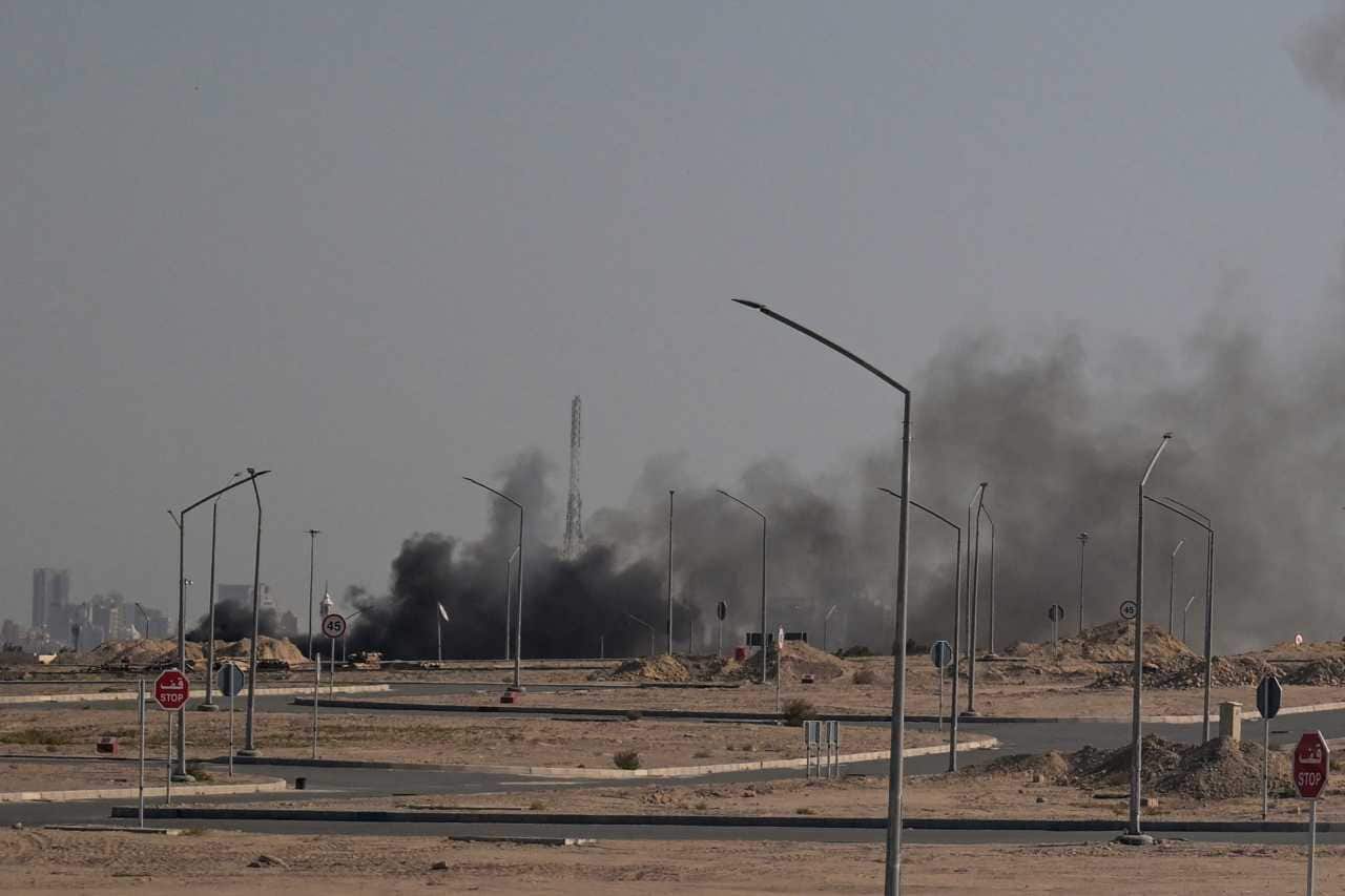
The speed of this development is striking. In areas like Juhor ad-Dik, open land was converted into structured military zones in under eight weeks. This rapid deployment requires highly coordinated logistics, massive state funding, and a clear mandate from the highest levels of the defense establishment. It does not look like an army preparing to go home.
Moving the Yellow Line
The October truce was built around a 21-point plan that established a specific demarcation boundary known as the Yellow Line. This line was supposed to serve as a strict limit for Israeli troop deployment, leaving the western portions of the Strip open for civilian return and international stabilization forces.
Instead, the military is physically shifting the border.
[Old Border Area] ----> [Dirt Berms & Blockades] ----> New Encroachment Zone
                                                           (500+ meters deep)
In northern Gaza, defense forces have constructed continuous dirt berms measuring several meters high. These barriers run parallel to the official Yellow Line but sit up to 580 meters deeper inside Palestinian territory. This is not a subtle discrepancy. It is a deliberate encroachment that absorbs hundreds of hectares of land meant for civilian reconstruction.
Behind these berms, the infrastructure connects directly back to logistics centers inside Israel. High-grade roads have been carved through former agricultural lands to link the inner-Gaza outposts to major highways on the other side of the perimeter wall. This creates a dual-purpose logistics network. It allows rapid troop rotations and resupply lines while bypassing the dense civilian traffic of Gaza’s remaining urban centers.
Fragmentation as a Governance Strategy
The broader strategy behind these 40 outposts is the total fragmentation of the civilian population. By positioning fortified bases at every major intersection, choke point, and agricultural periphery, the military has achieved absolute spatial control.
The strategy divides the territory into isolated population blocks. Under this model, hundreds of thousands of displaced people are routed into high-density residential encampments. Each zone is surrounded by checkpoints and physical barriers, turning free movement into a bureaucratic and physical impossibility.
+------------------+       +------------------+       +------------------+
| Population Zone  | <---> | Checkpoint Base  | <---> | Population Zone  |
|   (Controlled)   |       | (Israeli Outpost)|       |   (Controlled)   |
+------------------+       +------------------+       +------------------+
Access to resources, clean water, and medical care depends entirely on passing through these military nodes. This turns basic human survival into an element of security screening. While political figures frame these zones as necessary for stabilization, the immediate physical consequence is the destruction of Gaza’s integrity as a contiguous territory.
The Illusion of Post War Reconstruction
The contrast between diplomatic rhetoric and engineering realities is stark. In early 2026, international planners discussed the creation of a massive, 350-acre base in southern Gaza to house a 5,000-person multinational force. This base was intended to manage the transition to civil governance.
The satellite feeds tell an entirely different story. While international projects like the proposed "New Rafah" civilian housing complex show zero ground activity, zero rubble clearance, and zero infrastructure development, the military networks are thriving.
Construction Progress (Early 2026 Comparison)
------------------------------------------------------
Civilian Reconstruction Projects:   [ STALLED ]
Military Base Fortification:        [ ACCELERATED ]
This disparity proves that security priorities have completely co-opted the reconstruction timeline. Any international aid organization or foreign government looking to fund civil projects must reckon with the fact that they are building inside a grid designed, monitored, and maintained by permanent foreign military installations.
The Frictionless Occupation
For decades, military analysts have known that holding territory with a hostile civilian population is incredibly expensive in terms of both blood and treasure. The old model of occupation required soldiers to patrol narrow alleyways and dense urban centers, exposing them to constant asymmetric warfare.
The 40 new outposts represent a major shift in operational doctrine. By leveling dense urban zones and replacing them with wide, clear fields of fire, large earthen berms, and automated surveillance towers, the army can control vast swaths of land with a fraction of the manpower.
The outposts are engineered for self-sustainability and maximum defense. Deep trenches protect perimeter walls from vehicle-borne explosives. High-altitude sensors track movement kilometers away. This setup allows the military to maintain a high-pressure siege on the population centers while keeping its core personnel insulated inside fortified bubbles. It is an occupation designed to run indefinitely with minimal friction.
This structural reality makes diplomatic declarations of an impending withdrawal ring hollow. A state does not build heavy concrete foundations, deep defensive trenches, and permanent highway connections if it plans to hand the keys over to an international committee in a few months. The geography has been weaponized, the maps have been redrawn, and the concrete is dry.