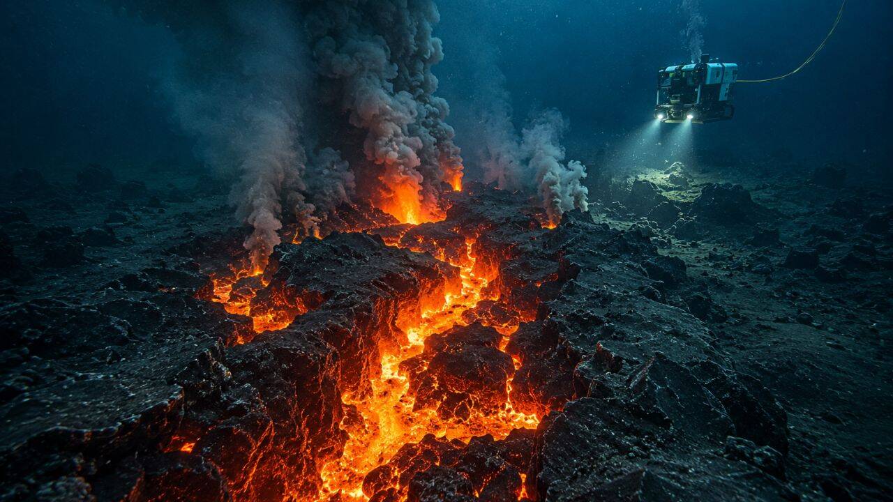
We've known for decades that the earth splits open beneath the sea, but we've always had to piece the story together from leftovers. Geologists look at cold, hardened basalt, track distant rumbling seismographs, and map the topography long after the action finishes. That just changed.
For the first time in history, scientists caught a live seafloor rifting event as it happened. In April 2024, an array of sensors captured an underwater valley tearing open, sinking by yards, and spewing millions of cubic meters of molten rock. The results, published in the journal Nature, completely upend what we thought we knew about how the earth's crust actually moves. It turns out the process is far faster, and strangely quieter, than anyone anticipated.
The Day the Indian Ocean Split Apart
The breakthrough didn't happen by accident. Just two months prior, an international research team deployed a specialized underwater network called the OHA-GEODAMS observatory along the Southeast Indian Ridge. This remote stretch of ocean between Australia and Antarctica is a mid-ocean ridge where tectonic plates slowly drag themselves apart at a rate of about six centimeters per year.
On April 26, 2024, the quiet ended. A massive swarm of earthquakes ignited underneath the ridge valley. Instead of shaking in one spot, the tremors moved like a racing train along the ridge axis. It was the distinct signature of magma forcing its way through deep underground fractures.
Then the ocean floor literally collapsed.
Data from bottom-pressure gauges showed the valley floor sinking by 4.2 meters in a matter of days. Simultaneously, acoustic transponders on opposite sides of the valley recorded a horizontal stretch exceeding a full meter. At its absolute peak, the seafloor was ripping apart at a staggering five centimeters per minute. To put that in perspective, that's nearly half a million times faster than the area's normal annual movement. Decades of tectonic tension evaporated in less than a week.
The Secret Devastation of Silent Earthquakes
The biggest shock for the research team wasn't the speed of the separation. It was the silence.
For generations, textbook geology taught us that when tectonic plates shift dramatically, they create massive, violent earthquakes. But during this event, the numbers didn't add up. The acoustic and seismic instruments showed that the physical movement of the faults far outpaced the energy released by tremors.
The seabed shifted through what geologists call aseismic slip. Essentially, the faults moved quietly, sliding without generating the traditional shaking we associate with tectonic activity.
This solves a long-standing scientific puzzle known as the seismic deficit. For years, scientists noticed that if you add up all the earthquakes recorded along mid-ocean ridges, the math never equals the total amount the plates are supposed to be moving. There wasn't enough shaking to account for the expanding ocean basins. Now we know why. Magma pushing up from the mantle lubricates the faults, allowing the earth's crust to slide silently and smoothly.
Building 160 Million Cubic Meters of New Earth
While the faults slipped silently, the plumbing system underneath was working overtime. The data points to a massive, shallow magma reservoir located roughly 3.6 kilometers beneath the ocean floor. As this reservoir emptied, it pushed molten rock upward into vertical sheets called dykes.
Once that magma broke the surface, it triggered a massive underwater eruption that lasted for roughly 16 days.
Hydrophones recorded thousands of popping, crackling acoustic signals as superheated lava slammed into near-freezing seawater. Sensors detected localized spikes in water temperature as the eruption dumped between 148 million and 160 million cubic meters of lava onto the seafloor.
The aftermath completely altered the local topography. New layers of basaltic rock piled up across the ridge valley, with some brand-new lava deposits measuring over 90 meters thick. The earth was quite literally forging new crust right in front of our instruments.
Why This Changes Underwater Exploration
Studying mid-ocean ridges is notoriously difficult. They sit miles beneath the surface, shrouded in total darkness and crushed by immense pressure. Most of our historical data comes from hit-and-run research cruises that happen to sail over an area after an event already ended.
This discovery proves that real-time underwater observatories work. By having the right tools in the right place before the clock started ticking, scientists traced the exact sequence of a rifting event from the first subterranean magma movement to the final cooling of the lava flow.
It alters our models for tracking volcanic and seismic hazards. If major crustal movements happen without large earthquakes, we can't rely solely on traditional seismometers to tell us when the earth is changing.
If you want to track how our planet grows, look to the sea. The next step for oceanographers is deploying similar self-calibrating acoustic and pressure arrays across other major rift zones, like the Mid-Atlantic Ridge or the East Pacific Rise. Only by catching these random, violent bursts of crustal creation can we truly understand the engine driving plate tectonics. Keep your eyes on the data coming out of these deep trenches; the ocean floor is moving a lot faster than you think.