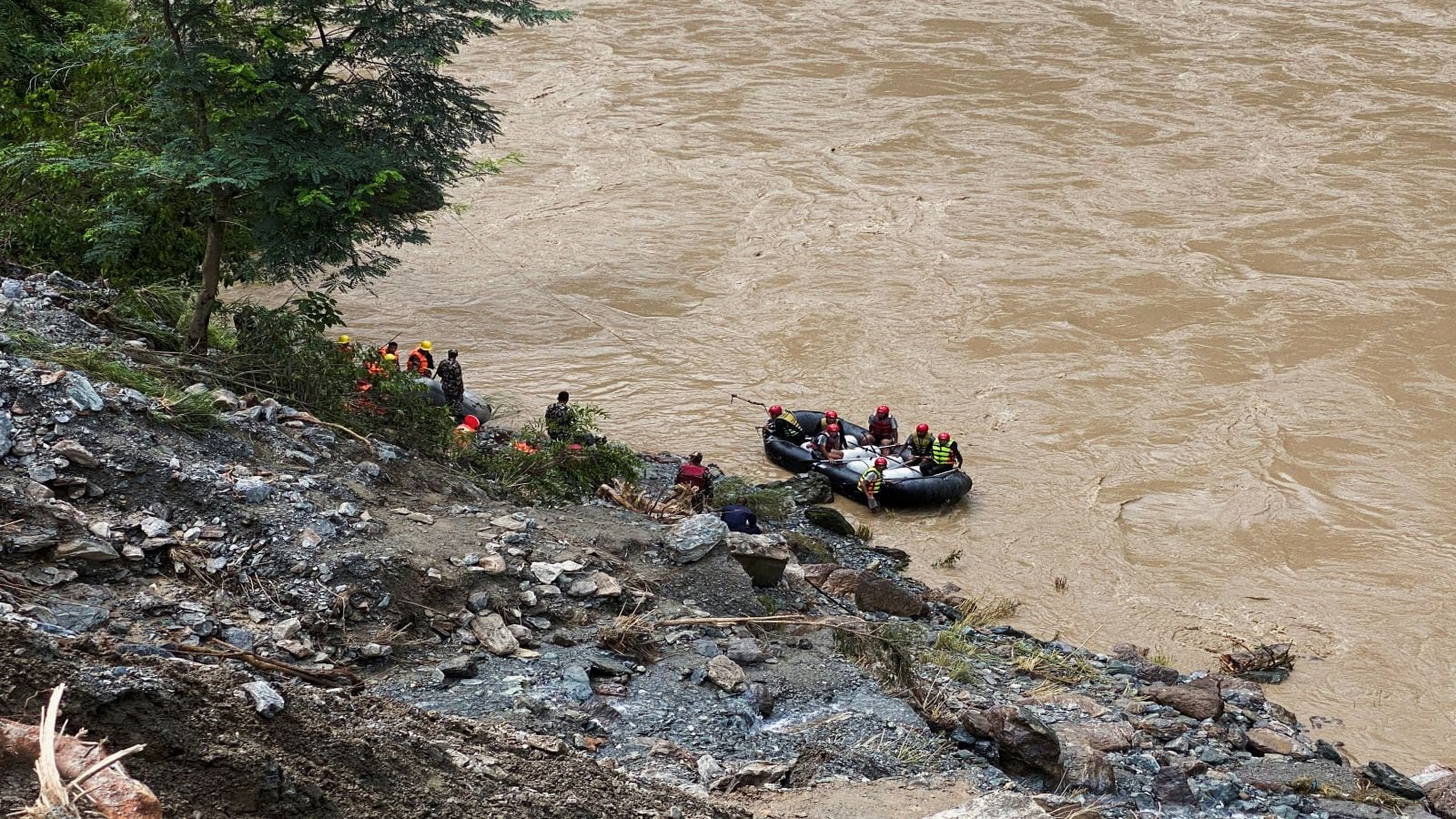
Climate-induced cryospheric degradation along the trans-Himalayan border demands a fundamental shift from reactive reconstruction to deterministic infrastructure hardening. When glacial lake outburst floods breach high-altitude containment basins, downstream communities face a compressed time window for evacuation that exposes the critical vulnerabilities of legacy sensor networks. The decision by Nepalese authorities to rebuild the early warning system along the Chinese border following recent catastrophic flash floods highlights a persistent failure mode in hazard mitigation: the separation of transboundary hydrological monitoring from high-frequency telemetry protocols.
To understand why traditional warning systems fail in the Himalayas, one must analyze the physical mechanisms governing glacial lake outbursts. High mountain regions experience accelerated cryospheric melting driven by rising ambient temperatures and black carbon deposition. As moraine-dammed lakes swell, internal hydraulic pressure increases non-linearly against unstable rock and ice matrices. When structural failure occurs, millions of cubic meters of water, sediment, and debris surge down steep river valleys at high velocities.
Legacy warning architectures typically rely on downstream water level sensors or acoustic flow monitors installed within the riverbed. This approach contains a fatal structural flaw. By placing the detection mechanism inside or immediately adjacent to the hazard pathway, the system trades spatial lead time for observational certainty. When a flood front destroys the sensor, the transmission window to downstream settlements closes simultaneously. Effective infrastructure design requires separating the trigger mechanism from the impact zone by deploying sensor arrays at the high-altitude origin points of potential breaches.
The reconstruction project along the northern border must resolve three distinct operational bottlenecks that historically compromise transboundary disaster risk reduction.
The Telemetry Latency Bottleneck
The primary variable determining survival rates in flash flood scenarios is the time delta between initial hydrological displacement and population-wide alert propagation. In remote mountain terrain, conventional cellular networks are sparse, fragile, and prone to immediate destruction during the initial surge phase.
Rebuilding the warning network requires shifting from terrestrial mobile dependencies to redundant satellite-uplink telemetry nodes. Solar-powered seismic and hydrostatic pressure sensors placed upstream must transmit continuous telemetry packets through low-earth-orbit satellite constellations. This ensures that the destruction of local transmission towers does not sever the data pipeline.
Furthermore, data transmission protocols must be optimized for speed over bandwidth. Edge-computing units installed at the sensor site should perform preliminary anomaly detection locally, transmitting a lightweight emergency flag rather than raw, uncompressed time-series data. This reduces packet loss probability in adverse meteorological conditions common to high-altitude passes.
The Transboundary Data Sharing Friction
Glacial lake outburst floods do not respect geopolitical boundaries. The accumulation zones for many high-risk water bodies feeding Nepalese river systems lie entirely within the jurisdiction of the Tibet Autonomous Region of China. Consequently, any early warning architecture deployed solely on the southern side of the international border functions with incomplete observational inputs.
A functional risk mitigation framework requires real-time meteorological and hydrological data exchange between upstream and downstream riparian states. Without continuous monitoring of precipitation rates, thermal ablation markers, and internal lake temperature profiles on the northern slopes, downstream authorities operate in a reactive posture.
Building an effective system necessitates formalized bilateral protocols that mandate automated telemetry sharing. When upstream monitoring stations register rapid stage drops indicative of a sub-glacial drainage event or moraine breaching, the alert must trigger automated machine-to-machine protocols across the border, bypassing bureaucratic delays inherent in diplomatic communication channels.
The Last-Mile Communication Degradation
Hardware reliability at the source is irrelevant if the final delivery mechanism fails to alter human behavior. The failure mode of last-mile warning systems often stems from reliance on centralized sirens that lack acoustic penetration in deep, narrow Himalayan gorges, or reliance on manual text-message dissemination that fails during regional power grid failures.
A resilient last-mile strategy employs decentralized, autonomous acoustic nodes powered by kinetic and solar generation, distributed throughout vulnerable settlements. These nodes must interface directly with regional satellite receivers, triggering localized multi-frequency alarms that cut through ambient river noise.
Crucially, structural hardening must extend to the human element through standardized, high-frequency evacuation drills tied directly to automated sensor thresholds. When system latency is reduced to zero, the limiting factor shifts entirely to community response times.
The Economic Cost Function of Infrastructure Hardening
Deploying resilient early warning systems involves navigating steep capital expenditure curves against probabilistic return periods. Traditional cost-benefit analyses frequently undervalue cryospheric hazard mitigation because the frequency of catastrophic glacial lake outburst floods is low, while the severity of capital and human loss is extreme.
To justify the necessary capital allocation, risk models must incorporate the replacement cost of downstream infrastructure, including hydropower facilities, highway bridges, and agricultural land, weighed against the diminishing marginal cost of advanced sensor deployment. Modular, scalable sensor designs reduce initial deployment costs while allowing incremental upgrades to telemetry redundancy as regional risk profiles escalate.
Standardizing sensor arrays across multiple high-risk watersheds creates economies of scale in maintenance, calibration, and personnel training. Maintaining these systems in extreme environments requires specialized logistics frameworks capable of aerial deployment and remote diagnostic capabilities to minimize human exposure to high-altitude hazards.
Deploy high-altitude radar interferometry and drone-mounted bathymetric profiling to establish real-time volumetric baselines for all high-risk glacial lakes along the northern border before the next melt season accelerates structural loading.