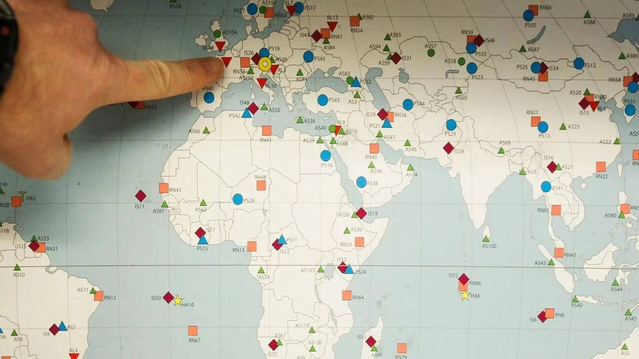
The United Nations General Assembly recently adopted a resolution endorsing the Equal Earth map projection, a diplomatic victory led by Togo and the African Union that explicitly aims to correct the centuries-old visual distortions of the traditional Mercator map. With 164 member states voting in favor and only the United States dissenting, the "Correct the Map" initiative challenges a cartographic standard that has made Africa appear roughly the same size as Greenland while hiding its true scale—which is roughly fourteen times larger—for more than four centuries. Yet, beneath the technical discourse of equal-area projections and spherical geometry lies a bruising geopolitical struggle over cognitive justice, colonial legacy, and who gets to define the visual architecture of our world.
Cartography has never been a passive science. Flattening a three-dimensional oblate spheroid onto a two-dimensional sheet of paper requires mathematical compromise. Every flat map must distort something: area, direction, shape, or distance.
Flemish geographer Gerardus Mercator engineered his famous 1569 projection to solve a very specific problem for European sea captains. By rendering lines of constant compass bearing as straight segments, the Mercator map became an indispensable tool for maritime navigation.
The structural trade-off was severe. To preserve directional angles and local shapes, Mercator stretched landmasses with increasing aggression the further they moved from the equator. Equatorial regions like Africa, South America, and South Asia shrank relative to the high-latitude power centers of North America and Europe.
For generations, this navigational aid morphed into the default image of the planet. It hung on classroom walls, filled school textbooks, and anchored the graphic interfaces of modern digital cartography.
The Psychology of Spatial Bias
Visual scaling shapes human perception in profound ways. When a classroom map depicts a European nation or a North American landmass with disproportionate prominence, it subtly implants a hierarchy of importance into the minds of developing students.
Cognitive scientists have long studied how spatial volume correlates with perceived power. A country that spans a massive swath of a classroom wall feels inherently dominant, wealthy, and central to global affairs. Conversely, compressing a massive continent like Africa down to the visual equivalent of a secondary territory reinforces tired geopolitical tropes of marginality.
The African Union argued precisely this point when bringing the resolution forward. The campaign is not merely about physical square kilometers; it targets the psychological footprint left behind by imperial history.
When French Foreign Minister Jean-Noël Barrot announced at the Sorbonne that Paris would abandon the Mercator projection, citing its disproportionate inflation of Western powers, it signaled a calculated diplomatic pivot. France, heavily invested in repairing fractured ties with its former African colonies, recognized the profound symbolic weight of the cartographic shift.
The Mechanics of the Equal Earth Alternative
Adopted by the UN, the Equal Earth projection was created in 2018 by cartographers Bojan Šavrič, Bernhard Jenny, and Tom Patterson. Designed specifically to address the political and visual flaws of standard maps, Equal Earth maintains relative land areas correctly while presenting continental shapes with minimal distortion.
On this projection, Africa expands to its correct visual scale. South America broadens, and India swells. Meanwhile, Greenland, Russia, Canada, and Europe contract sharply into their true proportions relative to the rest of the globe.
Critics of the UN resolution often point out a fundamental legal reality: the vote is non-binding. It does not force software developers to rewrite code, nor does it outlaw the Mercator grid for cargo ships navigating the North Atlantic.
That legal toothlessness misses the point entirely. Normative power at the international level frequently precedes structural change. By delegitimizing the default status of the Mercator map in general education and public administration, the UN resolution creates a compliance vacuum that textbook publishers and tech giants will eventually feel compelled to fill.
The Lone Dissent
Washington stood alone against the resolution. United States representatives dismissed the debate as a distraction from pressing global crises, framing the discussion over 16th-century cartography and cognitive justice as an institutional waste of time.
That solitary opposition highlights a deeper cultural divide. For Western superpowers accustomed to occupying the optical center of the world map, shifting away from a Eurocentric perspective feels destabilizing. For the Global South, it represents a long overdue correction of an imperial cartographic bias.
A map is an argument disguised as a picture. Changing the baseline image of our planet does not instantly alter economic trade deficits or resolve systemic global inequalities. It removes a persistent, quiet falsehood that has quietly conditioned how humanity views its own geography for over four hundred years.
The lines have been redrawn in the halls of international diplomacy, leaving institutions, educators, and tech monopolies to decide whether their screens and pages will finally reflect the earth as it actually is.


