You have probably spent your entire life looking at a map that lies to you. Every standard classroom globe, history textbook, and digital navigation tool has quietly warped your perception of global geography. That familiar chart is known as the Mercator projection. Designed back in 1569 by a Flemish cartographer named Gerardus Mercator, it was built for one specific purpose: helping sailors navigate the open seas without crashing their ships into rocks.
It does a decent job keeping compass directions straight, but stretching a three-dimensional globe onto a flat piece of paper breaks things. Landmasses near the poles get bloated, while regions near the equator get squeezed. That means North America and Europe look massive, while Africa and South America shrink down to fractions of their true size. On many traditional maps, Greenland appears roughly equal to Africa. In reality, Africa is about fourteen times larger.
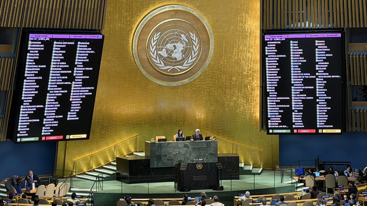
The United Nations General Assembly decided it is time to fix this geographic distortion. In a landslide vote, 164 countries backed the "Correct the Map" resolution, an initiative driven by Togo on behalf of the African Group to champion alternative projections like Equal Earth.
The Global Divide Over Cartography
The vote wasn't unanimous. While 164 nations voted in favor and six countries abstained, the United States stood alone as the lone dissenting vote. American representatives slammed the resolution, arguing that debating sixteenth-century cartography distracts the international body from pressing security crises and constitutes an ideological project rather than a practical update.
Supporters see things differently. Togo's Foreign Minister Robert Dussey argued that maps guide human imagination, shape education, and dictate collective perceptions. When generations of students grow up looking at a visual representation that minimizes equatorial landmasses, it creates a subtle, persistent bias about weight and scale on the global stage.
The African Union welcomed the vote as a historic milestone. Proponents aren't trying to outlaw the Mercator map entirely—it still works fine for piloting cargo ships across the ocean. Instead, the resolution encourages schools, governments, tech companies, and media outlets to adopt equal-area maps like Equal Earth for general education and public communication.
What Equal Earth Changes
Developed in 2018 by cartographers aiming to fix historical imbalances, the Equal Earth projection preserves the true relative surface areas of the continents. When you look at an Equal Earth map, Africa expands to occupy its proper visual dominance. Latin America, South Asia, and Oceania also reclaim their authentic proportions.
France announced it would pivot away from Mercator use in response, acknowledging that correcting visual distortion is an act of factual honesty. Shifting how we visualize the planet doesn't rewrite political borders, but it fundamentally alters how we perceive the world's population hubs and economic weight.
Expect to see more educational institutions and digital atlases phase in equal-area projections over the coming years. Check your own textbooks and mapping apps to see which version you are looking at.
UN General Assembly Endorses “Correct The Map” Resolution
This video provides full coverage of the UN General Assembly session discussing the resolution to adopt equal-area maps.
http://googleusercontent.com/youtube_content/1